How to draw or fix a field boundary
Add a field that isn't on your SBI, or fix a field's outline. Draw it on a satellite map or upload a map file, then save. Step by step, with pictures.
Last checked against gov.uk
- Written by
- The AgriSync team
- Published
- Reading time
- 2 minutes
Works for any field in the UK.
In short
To draw a field in AgriSync, open your farm from My farms and press Add a field. Fill in the Field basics. On Draw your field boundary, press Draw polygon, click each corner and press Finish. Check the summary and press Save field. To fix a field's outline later, use Edit field.
What you need
- Your farm set up in AgriSync
- The field's postcode, or be standing in it
Steps
- 1
Start a new field
Open My farms, choose your farm with Open farm → and press Add a field.
- 2
Fill in the field basics
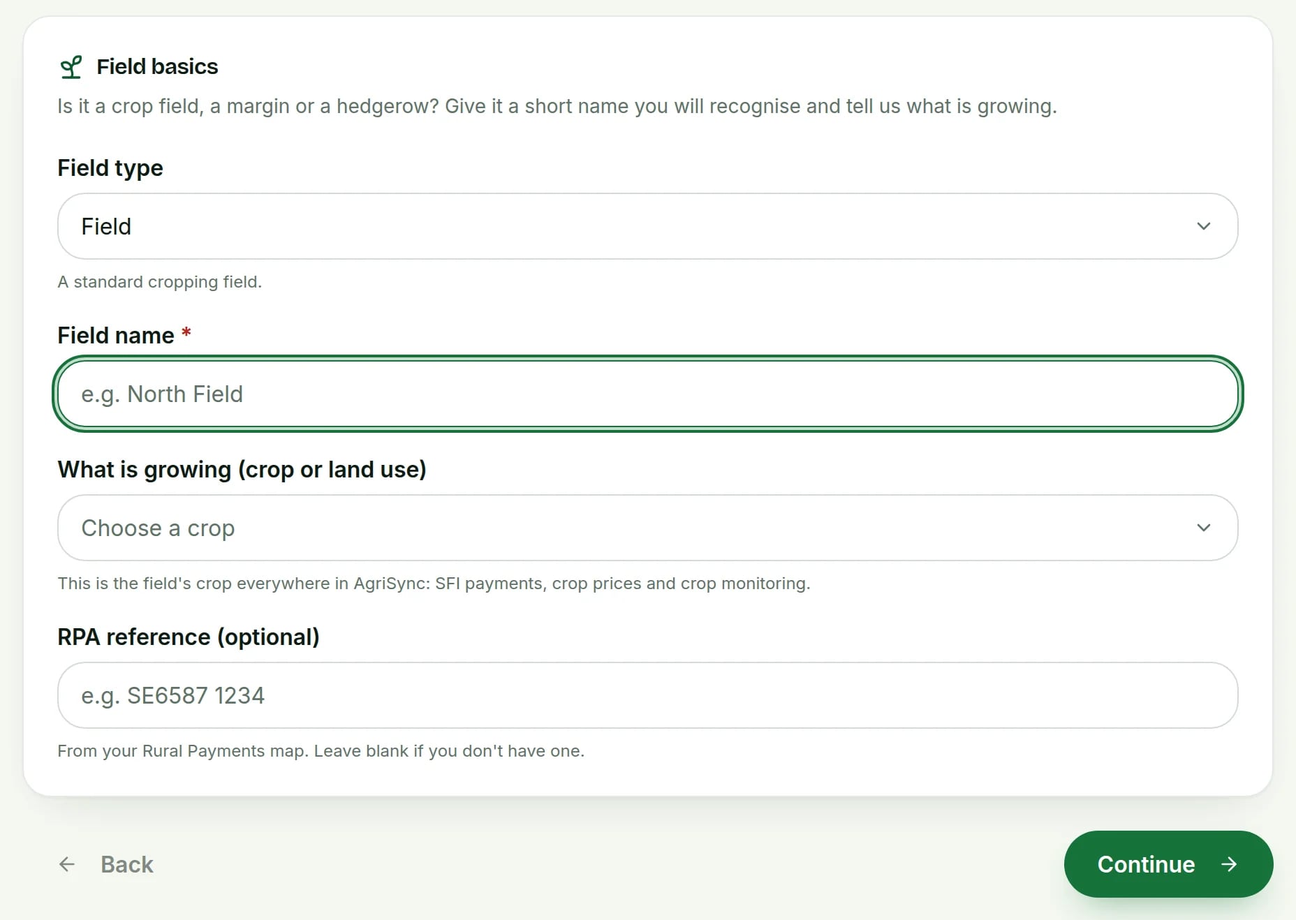
Under Field basics, choose the Field type, enter the Field name and choose What is growing (crop or land use). Have an RPA reference from your Rural Payments map? Add it in RPA reference (optional). Press Continue.
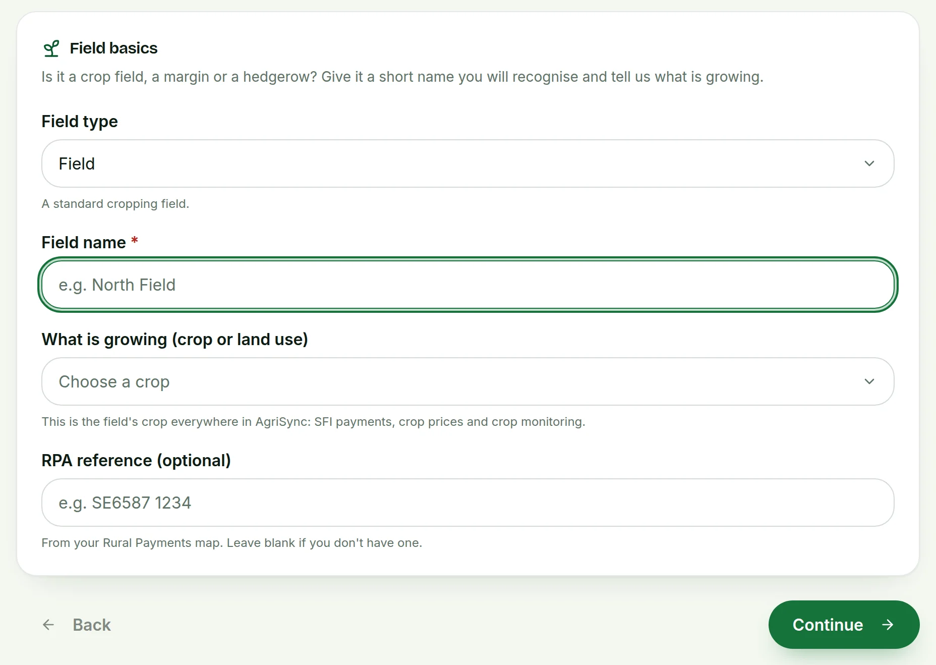 Tap to see the whole screen(opens the full-size picture)
Demo farm in the AgriSync test environment. - 3
Find the field on the map
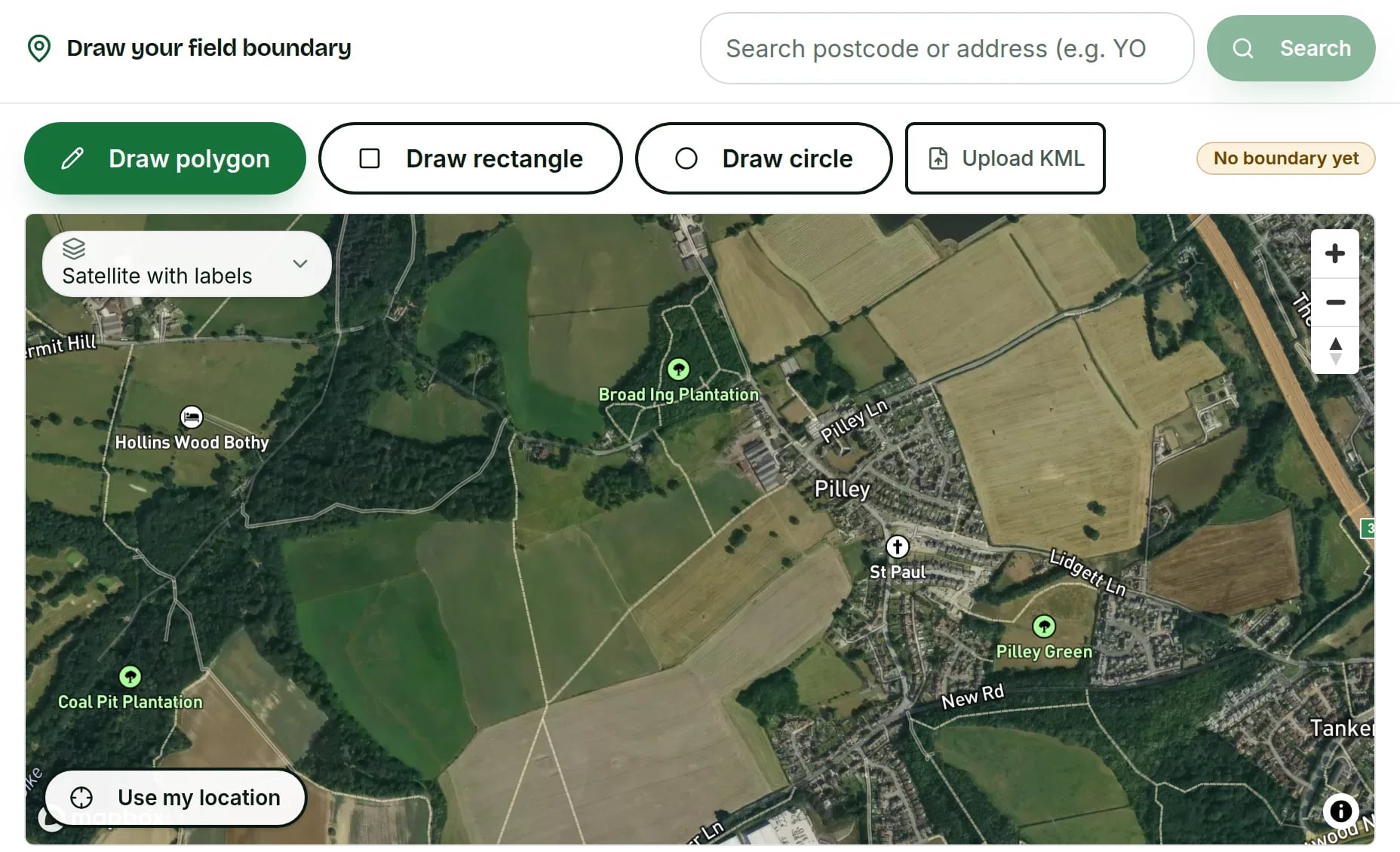
On Draw your field boundary, type a postcode or address into the search box and press Search. Standing in the field? Press Use my location instead. Zoom in until you can see the field's edges.
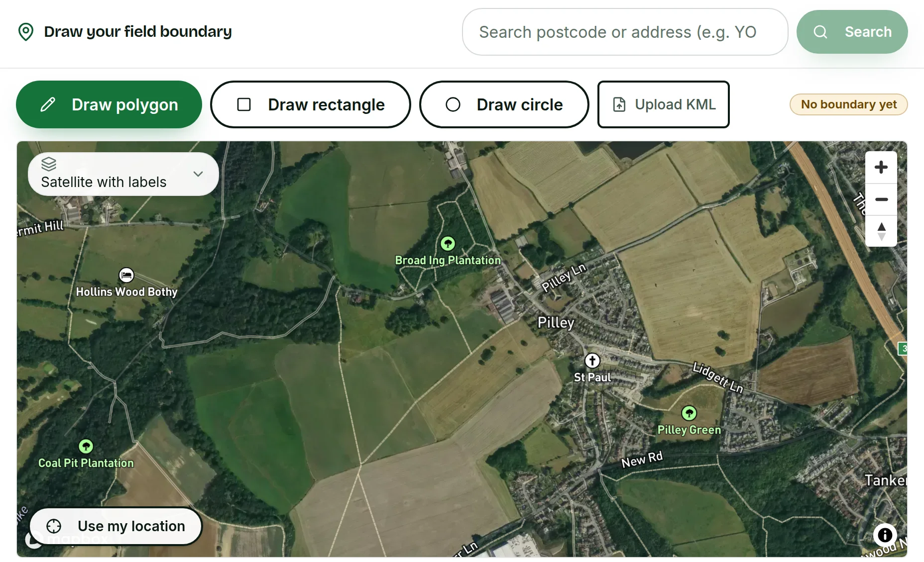 Tap to see the whole screen(opens the full-size picture)
Demo farm in the AgriSync test environment. - 4
Draw the boundary
Press Draw polygon and click each corner of the field. You need at least 3. Press Finish when you're done. Undo last removes the last corner. Cancel stops drawing. For a square field, use Draw rectangle. For a round paddock, use Draw circle. Have a map file (KML)? Press Upload KML.
- 5
Check and save
On Review and save, check the name, crop and area. Then press Save field.
- 6
Fix a boundary later
Open the field and press Edit field. Redraw the outline and press Save changes. Or press Cancel — don't save to leave it as it was.
What happens after I save a field?
The field appears on your farm with the badge On the map. AgriSync works out its area from the outline. The field joins the SFI to-do list. There, Field is mapped and Field size recorded are two of the four checks.
What if something goes wrong?
- The field shows "No boundary yet". Open it and use Draw the boundary or Edit field.
- Finish isn't working. A field outline needs at least 3 corners.
- The area is a little different from my RPA map. AgriSync works out the area from the shape you drew. The RPA's figure is the one that counts for payments. To change the RPA's map, go to the Rural Payments service. Use Land, then Request rural land changes.
- I have a GeoJSON file, not KML. GeoJSON is another kind of map file. Open Advanced — paste raw GeoJSON under the map and paste it in.
Common questions
Can I add a field that isn't on my SBI?
Yes. Draw it on the map or upload a KML map file. It is kept in AgriSync only. It doesn't change anything with the RPA.
Can I draw a hedge or a margin?
Yes. Choose the right option under Field type. Then draw it the same way.
What does an RPA land parcel need?
GOV.UK says a land parcel is an area of land with a permanent boundary all round it. It must be 0.01 hectares or more. Register new parcels on the Rural Payments service. If you can't go online, use form RLE1.
Sources
Every source was checked on 25 October 2026. If something has changed, tell us at info@agrisync.co.uk.
- 1.Register rural land on the Rural Payments service (opens in a new tab), GOV.UKPublished 8 August 2024
- 2.SFI26: scheme rules and guidance (opens in a new tab), GOV.UKv4.0, August 2026 (page updated 23 September 2026)
Try it on your own farm
Free during early access. Start on your own, or we'll phone you and set up your fields with you.