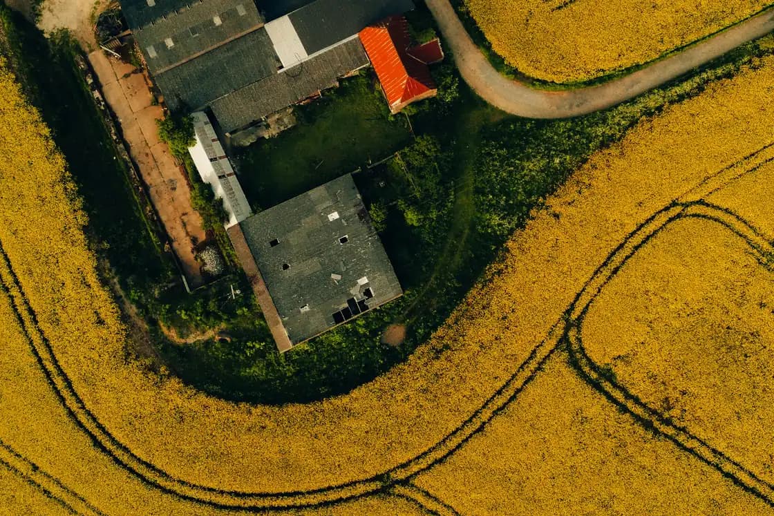
Your fields on a map, straight from your SBI
How it works
Type in your SBI
The nine-digit number on your Rural Payments account.
Give permission
We note your yes before AgriSync asks the RPA for your fields.
Check your fields
See each field and its area. Set the crop and you're ready.
Common questions
What can I do with Field mapping in AgriSync?
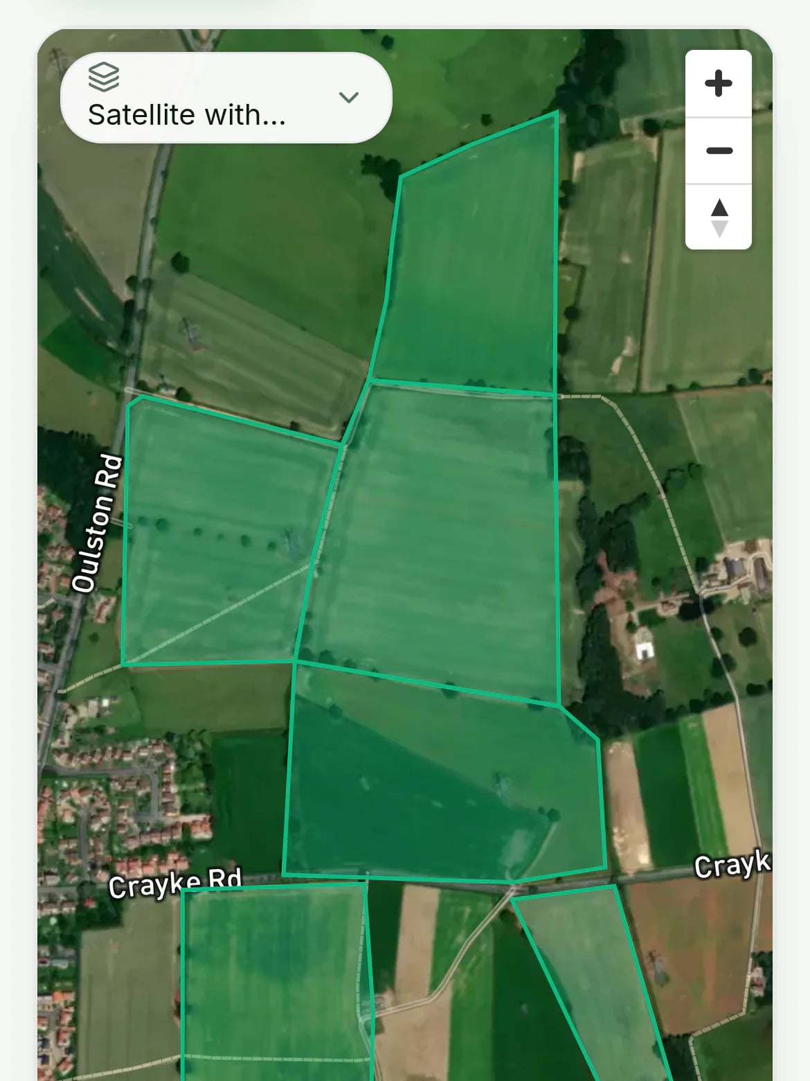
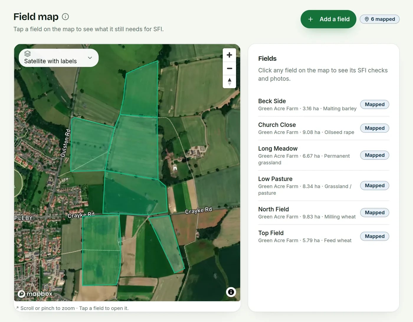
Type in your SBI. Once you give permission, AgriSync brings in your fields from the Rural Payments Agency's open land data. (The RPA calls them land parcels.) Every field shows on a satellite map with its area and crop.
What do I need to use it?
Your SBI (Single Business Identifier, your Rural Payments number). About five minutes. It is free during early access.
How up to date are the boundaries?
The RPA updates its land data twice a week. If the RPA has just accepted a change to your land, it may take a few days to show.
Why is the area slightly different from my RPA paperwork?
AgriSync works out each area from the field's shape. So it can differ a little from the area on your RPA paperwork. The RPA's figure is the one that counts for payments.
How big is my field?
AgriSync works out each field's area from its outline on the map, in hectares. 1 hectare is about 2.47 acres. For SFI payments, the RPA's own area is the one that counts.
Can I add a field that isn't on my SBI?
Yes. Draw its outline on the satellite map, or bring in a map file (KML or GeoJSON).
Read more
- Hedgerows and buffer strips in SFI26: CHRW2, CAHL4 and the rules to record
- SFI and Countryside Stewardship Higher Tier: which is which, and can you have both?
- What is an SBI number for farmers, and how do I get one?
- The Rural Payments service and land parcels explained: check your maps before SFI
- How to choose farm management software in England: 10 questions to ask
Free during early access
Try it on your own farm
We'll phone you and set up your fields with you, or you can start on your own. No card needed.